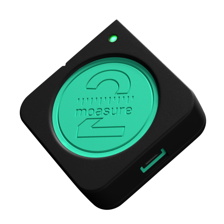

Moasure for EXCAVATION & EARTHWORKS
Rapidly measure job sites ready for excavation
The measuring tool for earthworks professionals who want to save time & money on every excavation job.
Moasure is trusted by:


Read time: 1 min
5 reasons why professionals in excavation & earthworks are switching to Moasure
Here’s why excavation contractors are talking about Moasure:
1


1
Easily calculate earthwork volumes & site grades
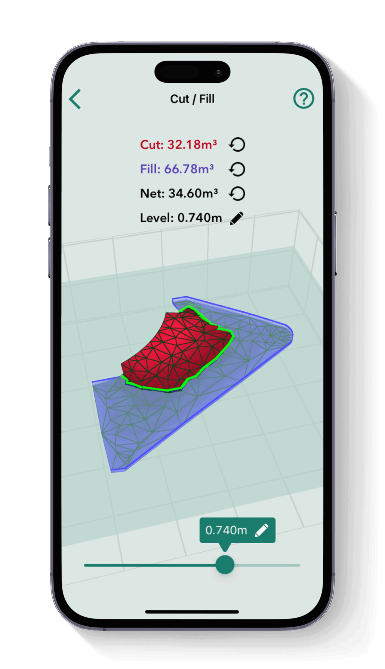
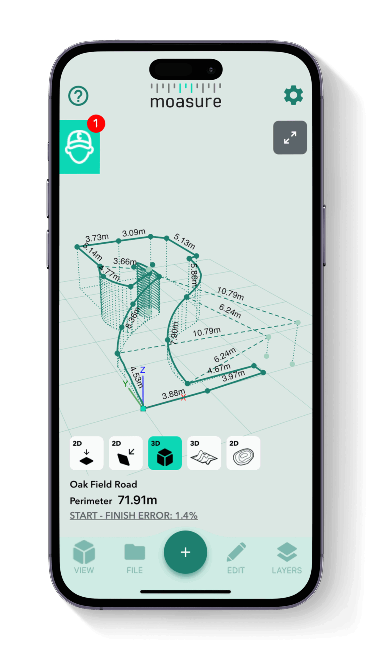
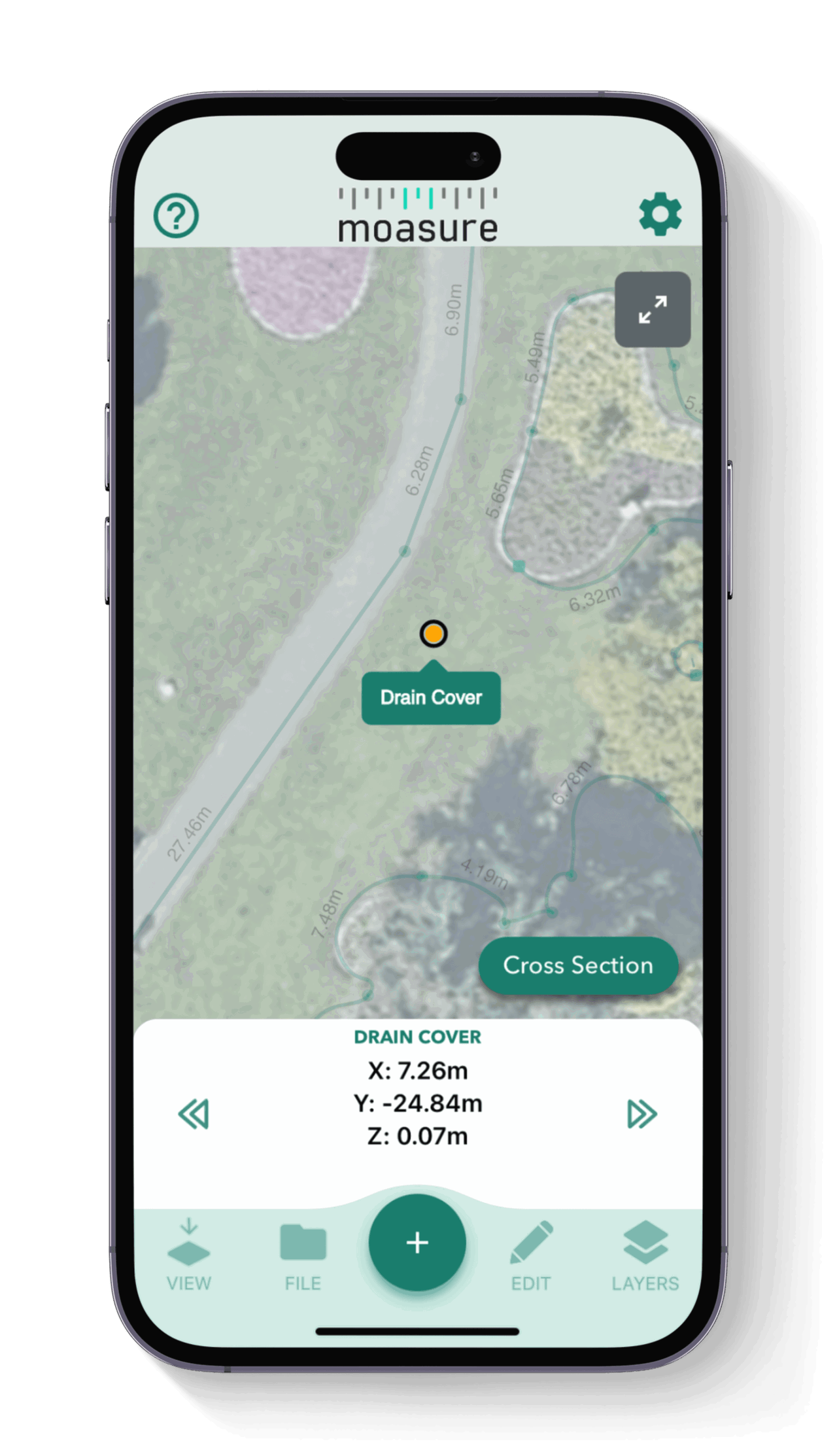
Accurately measure and draw complex excavation areas, site boundaries, or grading plans in minutes with Moasure. Cut-and-fill ratios, cubic yardage, and slope angles are automatically calculated simply by walking the site – no additional math required.

2
Streamline grading & site preparation
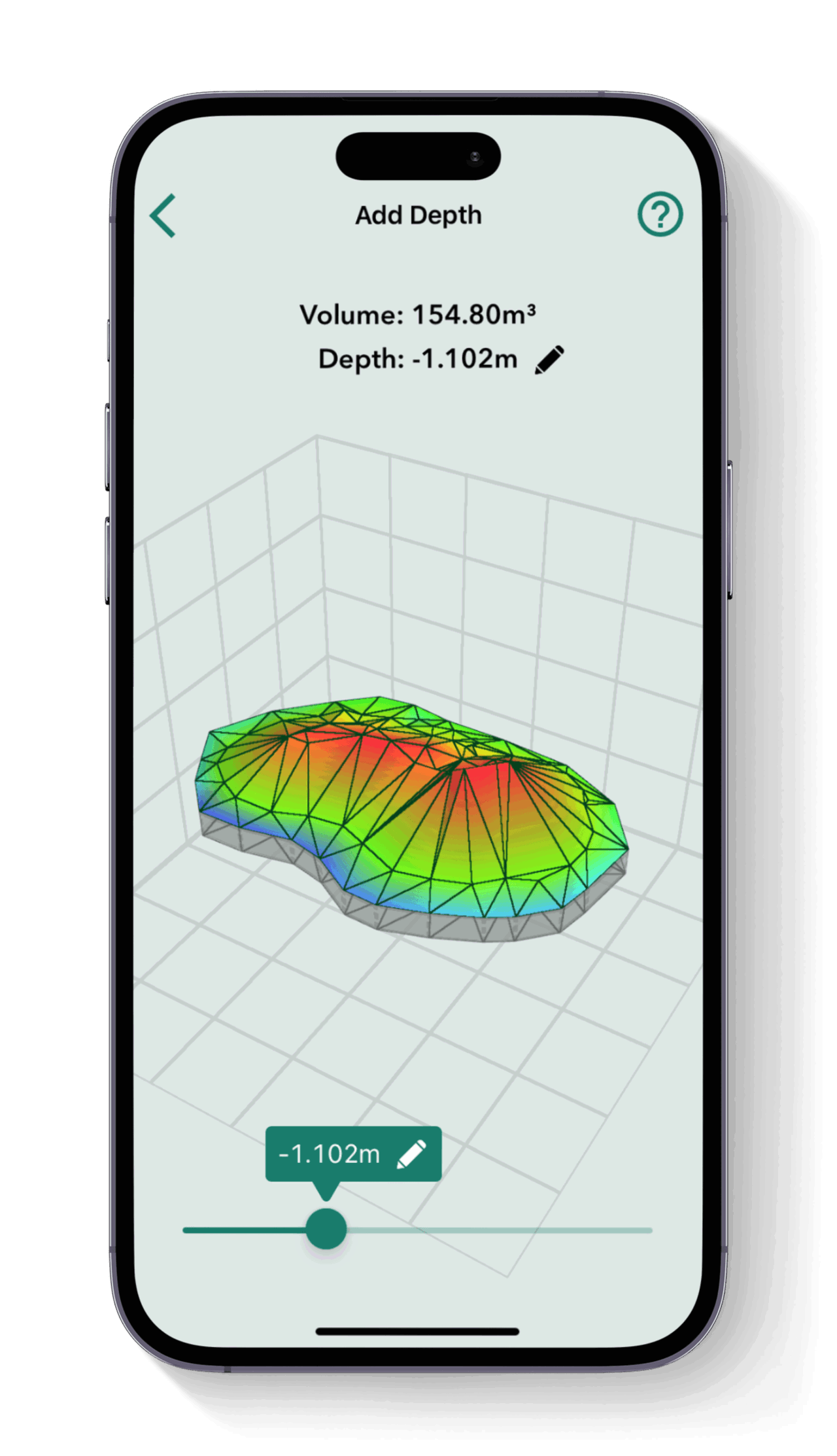
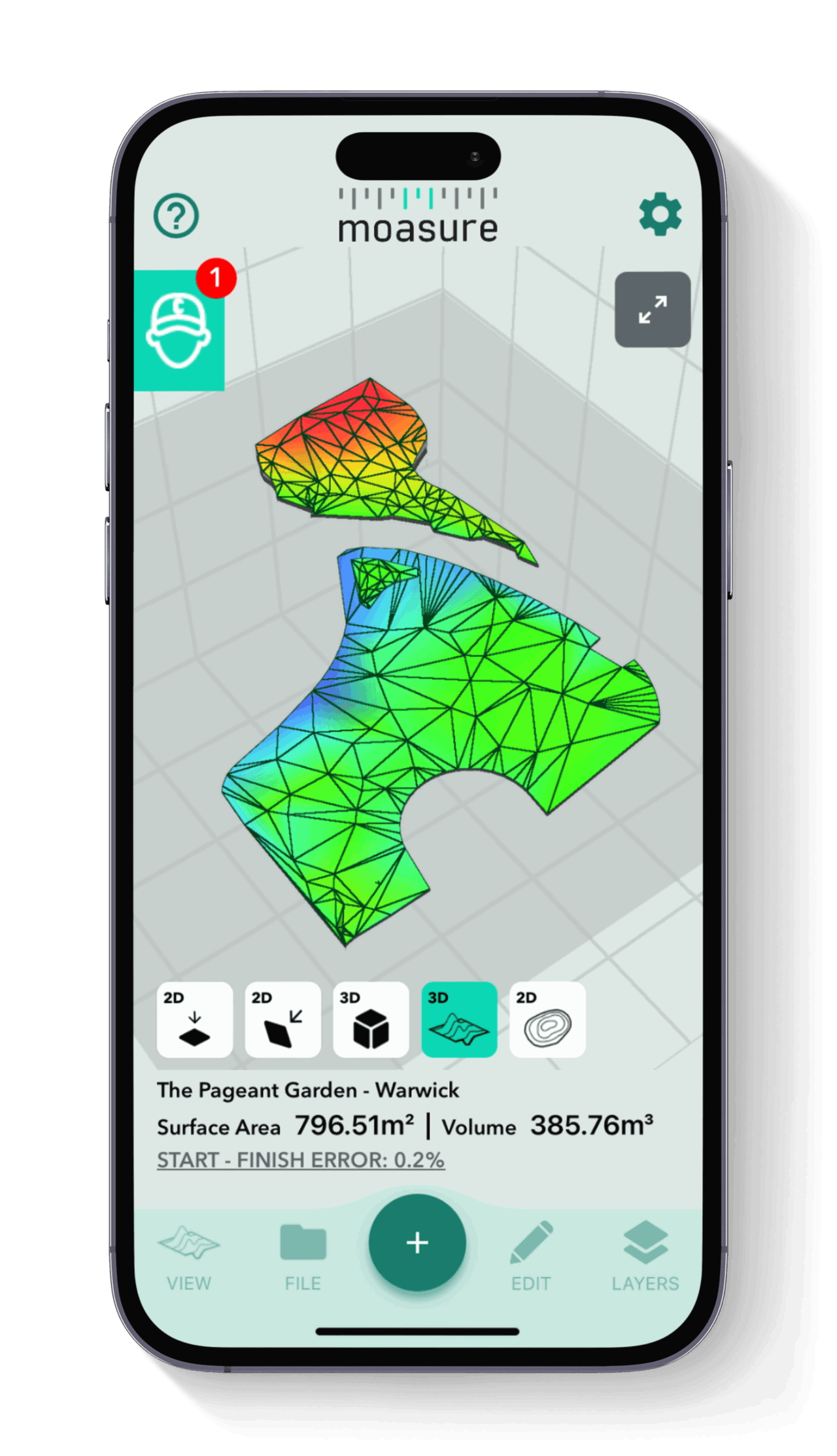
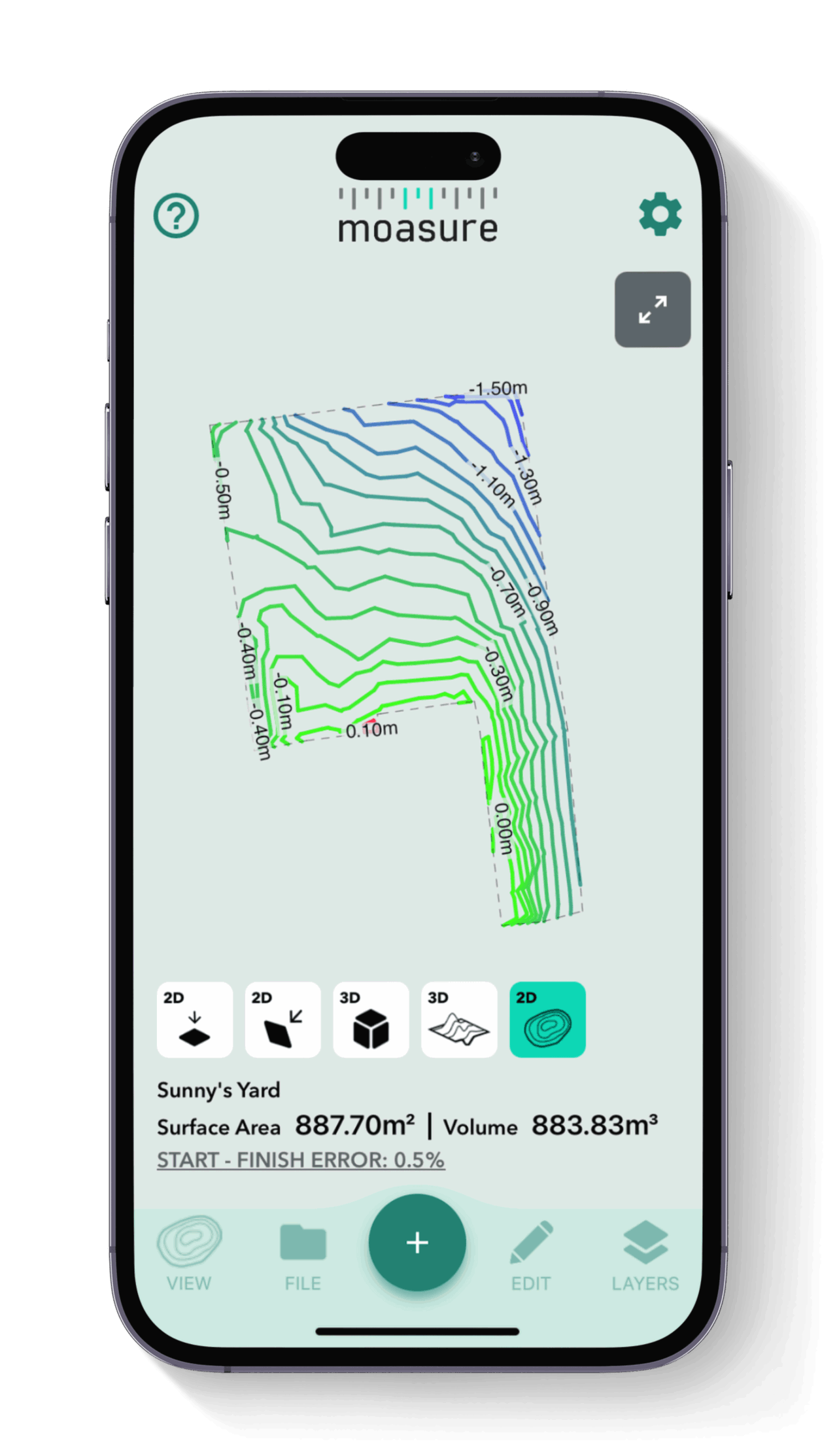
Visualize the topography of a site instantly with the free Moasure app. Efficiently plan rough grading, fine grading, or slope stabilization directly from your device. Whether you're working on embankment construction, site leveling, or trenching, Moasure provides precise and reliable measurements.

2

3

3
Eliminate material overages & shortages
Avoid over-ordering fill material using the Cut & Fill and Add Depth tools. With Moasure, you can precisely determine material takeoffs for soil stabilization, backfilling, or drainage installations. This reduces waste, improves profitability, and ensures your projects stay on budget.

4
Tackle any terrain with Moasure's versatile features
Moasure's unique ability to measure around obstacles, calculate slope angles, and handle irregular topographies makes it easy to gather accurate measurements. Whether you're preparing building pads, retention ponds, or parking lot grades, Moasure fits effortlessly into your process.

4

5

5
Export drawings into CAD, or as PDFs, CSVs, or images
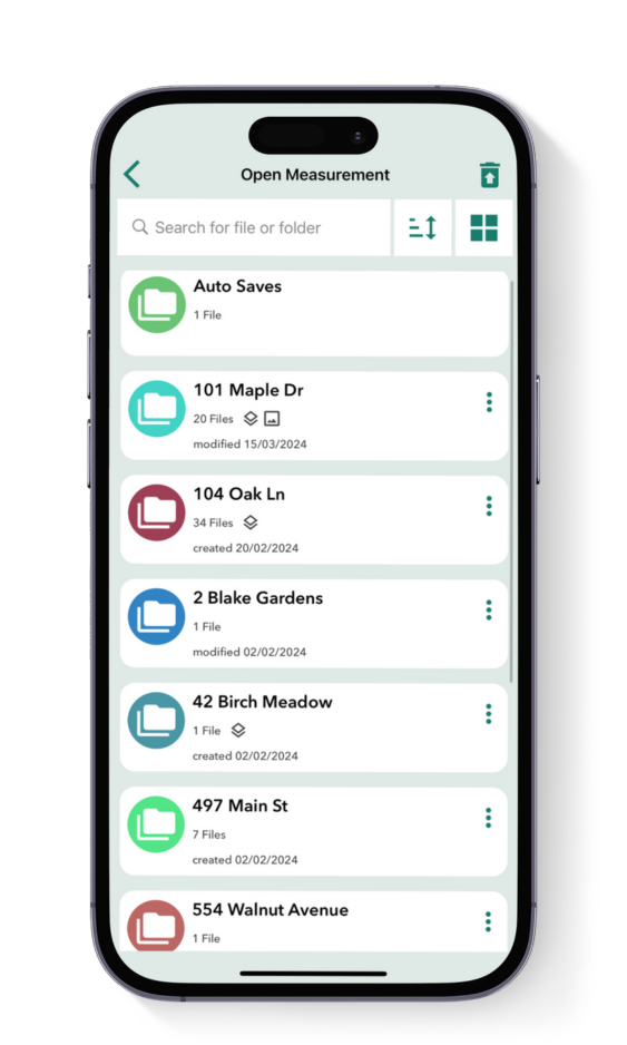
Seamlessly export your site surveys into your preferred CAD software, or multiple other formats, using the Moasure app. Share detailed site preparation or earthmoving plans with stakeholders, complete with your company’s branding.
Powerful in-app tools for excavation projects
Utilize the Moasure app's powerful suite of tools and features to enhance your earthwork measurements.
Excavation
Grading
Site Engineering
Geotechnical Engineering
Land Surveying
Land Grading
Construction Surveying
Quantity Surveying
Construction Management
Health & Safety
Built to handle the harshest construction sites
Moasure is designed to work in conditions most measuring tools cannot.


Water Resistant
IP67 Rated.
Measure in rain or mud.


Impact Resistant
Engineered to survive 2m drops onto concrete.


10h
Long-Life Battery
Up to 10 hours of measuring time.


No GPS Required
No Wi-Fi, GPS or mobile data required.

2-Year Warranty
Over 100,000+ sold
Excavation and earthworks professionals worldwide have switched to Moasure and not looked back.
Can your current measuring tool do
all of this?
Can your measuring wheel do all of this?
Save time, cut waste, and streamline your workflow with Moasure.
Measure & draw whilst you move

Traditional surveying tools
Calculate cut & fill volumes automatically
Measure around obstacles without line of sight
Automatically calculates square footage
Measure curved excavation perimeters
Export site plans to PDF, CAD or CSV
Measure distances up to 99.7% accuracy
Calculate depth changes in real time
Featured in:
Hear
real
stories from
real
earthwork experts
Hear real stories from real excavation experts
Moasure is a game changer for excavation and earthwork contractors. Let the experts tell you why:
Frequently asked questions
Everything you need to know about Moasure for excavation and earthwork.
Yes, Moasure data can be exported in DXF or DWG formats, which are compatible with many GIS platforms. These exports allow integration of site measurements into larger geographic or mapping datasets. This makes it useful for mapping excavation boundaries, elevation models, and topographical features. However, it does not provide georeferenced data unless combined with other GPS tools.
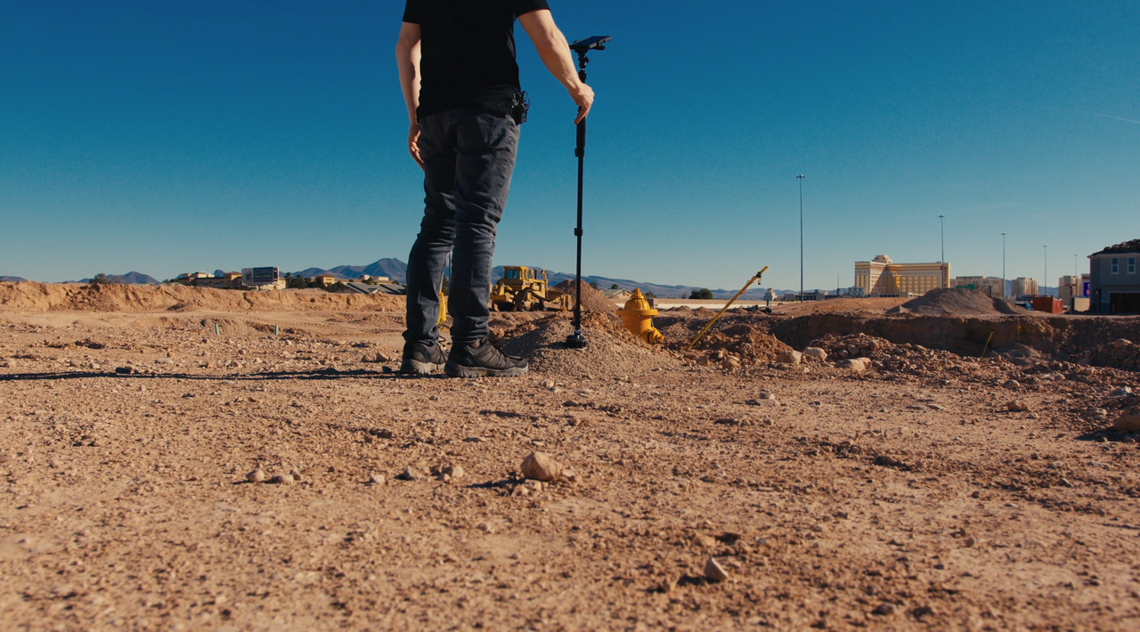
Unlike other tools on the market, Moasure is designed to operate in rugged environments. Its water-resistant (IP67) design ensures rain is no issue and it can also be dropped from 2m onto concrete. With durability like this, it remains accurate even when measuring across mud, rocks, or uneven ground.
Yes, Moasure is ideal for measuring complex sites such as retention basins, terraced slopes, or stepped foundations. It can capture irregular shapes, elevations, and slopes in a single measurement, simplifying site analysis.
Yes, Moasure is ideal for measuring slopes in drainage ditches and embankments. Its motion-based technology captures elevation changes as you move along the slope, automatically calculating gradients and rise/run data. It works on irregular or curved slopes without requiring line of sight, making it practical for natural terrain or areas with obstacles.
Yes, Moasure is highly accurate and well-suited for large-scale projects. The device measures up to 300m in a single measurement and captures 3D data, including elevation changes and volumes, making it ideal for large excavation projects and volume calculations. Moasure handles irregular shapes without requiring line of sight and exports data to CAD software for design and planning.
Measuring through vegetation or brush is no problem for Moasure as it does not rely on line of sight. It uses motion-based technology, meaning obstacles like shrubs or trees won’t obstruct the measurement. You can simply walk around the objects and Moasure will create a straight line between your start and end points. This makes it effective in natural or overgrown areas.
Yes, Moasure can measure around water features like retention ponds or wetlands. It accurately captures perimeter, area, and elevation data for such sites. However, measurements are limited to dry or semi-dry areas, as Moasure cannot measure fully submerged areas.

CHOOSE YOUR MOASURE RISK-FREE
100% money-back guarantee
Every Moasure device is tested to ensure it meets our accuracy and precision standards.
Plus, every order comes with a 60-day money-back guarantee as standard.
Thousands of professionals have transformed their workflow with Moasure.
Give it a try and you’ll never look back.

